Middle Fork Guide Book and Map, WP
$35.00
Middle Fork Guide Book and Map, WP
$35.00
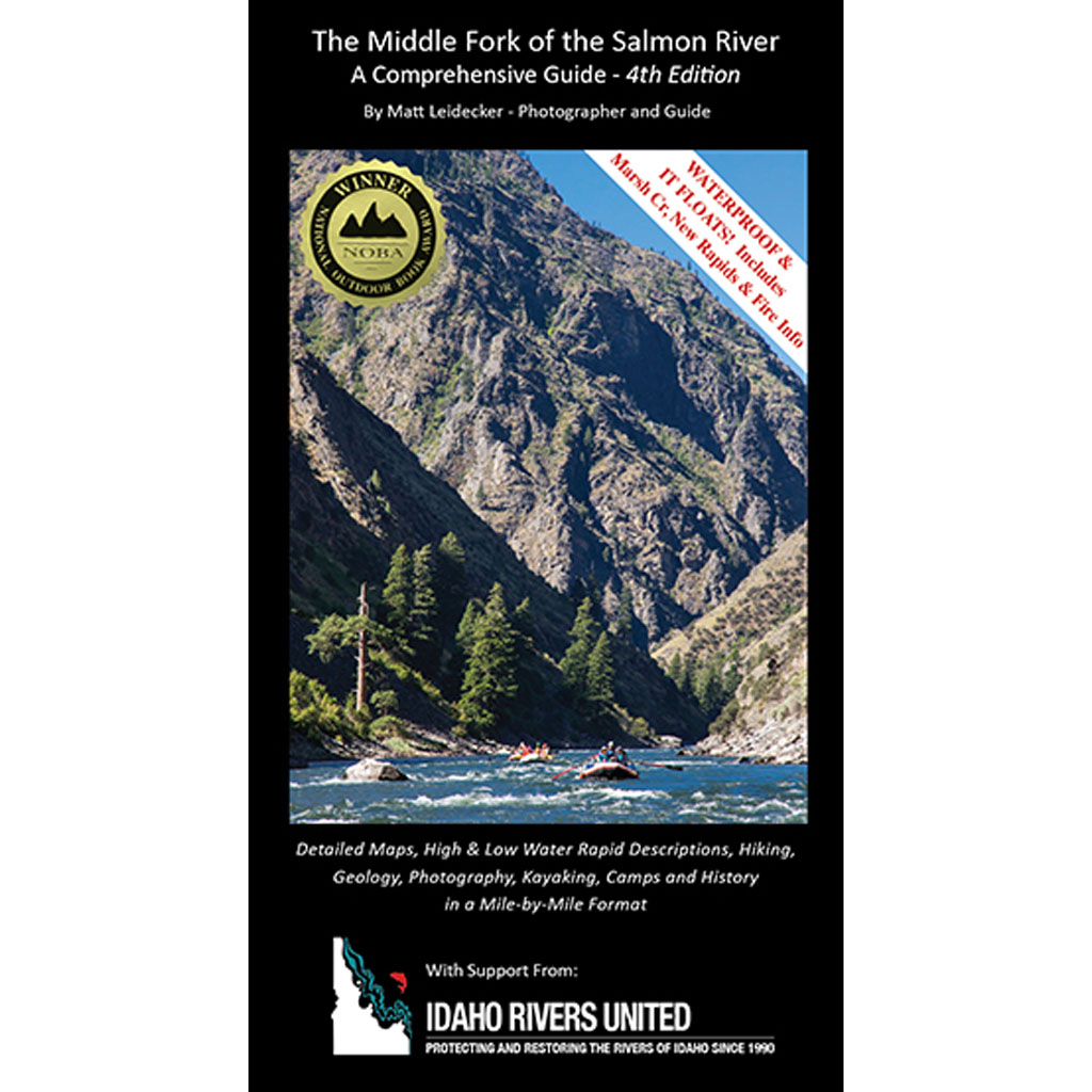
The ultimate Middle Fork floaters companion. Detailed topo maps created with National Geographic TOPO! software are augmented by beautiful photographs, rapid diagrams, and Matt’s 16 years of accumulated experience on the Middle Fork. The book covers High and Low water rapid descriptions, Kayaking spots, Hiking, Geology, Photography, Camps and History in a Mile-by-Mile Format.
By Matt Leidecker
Description
The ultimate Middle Fork floaters companion. Detailed topo maps created with National Geographic TOPO! software are augmented by beautiful photographs, rapid diagrams, and Matt’s 16 years of accumulated experience on the Middle Fork. The book covers High and Low water rapid descriptions, Kayaking spots, Hiking, Geology, Photography, Camps and History in a Mile-by-Mile Format.
By Matt Leidecker
Related products
-

The Organic Treadmill Book by Steve Zettel
$25.00 This product has multiple variants. The options may be chosen on the product page -

Swiftwater Rescue Book – 2nd Edition
$34.95 This product has multiple variants. The options may be chosen on the product page -

Middle Fork of the Salmon
$24.00 This product has multiple variants. The options may be chosen on the product page -

Main Salmon River
$24.00 This product has multiple variants. The options may be chosen on the product page -
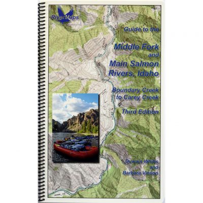
Guide Books by RiverMaps
$24.95 – $40.95Price range: $24.95 through $40.95 This product has multiple variants. The options may be chosen on the product page -

Paddling the Payette by Steve Stuebner
$19.95 This product has multiple variants. The options may be chosen on the product page -

River Rescue 4th Edition by Les Bechdel & Slim Ray
$24.95 This product has multiple variants. The options may be chosen on the product page -
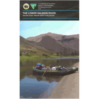
BLM River Maps
$10.00 – $28.00Price range: $10.00 through $28.00 This product has multiple variants. The options may be chosen on the product page





Reviews
There are no reviews yet.